River Kinder letterbox
Letterboxes in Lakeland & Dark Peak District
Letterboxes are containers with notebooks inside. They are usually plastic boxes hidden under rocks.
Looking for them provides navigation exercise and harmless entertainment.
Lakeland
This is a list of 78 Lakeland letterboxes. It may need updating but the website I got them from has
disappeared:
1. LANGDALE - AXE FACTORY-VC,NY.272.067, Sheet 90. Top of Axe Factory 30° Pyramid of stones (212°?) Small lone tree approx. 150p away on 8° Large barn of Stool Farm 158° Squarish rock on skyline 120° & approx. 30p away. Box in RHS of circular clitter just below another patch of circular clitter (scree).
2. LANGDALE - ROSSET GILL-PACKWOMAN-VC,NY.260.070, Sheet 90. Pike O Stickle 80°. Top of Rosset Pike 310° . Top tree just visible 260° sheepfold at bottom of Stake Pass 24°. Centre of stony gully just above track on opposite side 48° 5p above a very large obvious boulder with a small turf on top. Box tucked in beside a rock with zig zag edge facing Pike O Stickle. (The obvious boulder is very obvious and is the largest boulder in the valley).
3. LANGDALE - PIKE OF BLISCO / BLACK CRAG - The Needle - DS NY 274 037, Sheet 90 - Black Crag summit cairn 280° and 20 paces, Weatherlam 154°, Pike of Blisco 336°. Box under boulder / outcrop.
4. GRIZDALE- CARRON CRAG-RH,SD.325.943, Sheet 96. From trig go 70p 335° to large standing stone type boulder box 5p away under rock in small cave behind stones. NEW STAMP LEFT - DECEMBER 2004
5. GRIZDALE FOREST - Lizard No 1 - IG, -SD 345.952, Sheet 96. From the red sandstone fox walk 175 paces along the track on 120° to small quarry on right. Box is in back wall of quarry behind stones under loose jagged rock outcrop.
6. GRIZDALE FOREST - Lizard No 2 - IG, SD.344.924, Sheet 96. From the shortest of the seven stone towers in the Stone Forest - walk 18p on 190° to tree stump. Box under stone in roots.
7. GRIZDALE FOREST - Lizard No 3 - IG, SD 347.934, Sheet 96. From huge uprooted tree stump which has fallen across 'the wall that went for a walk' walk 50 paces south along the wall to just before a fallen tree across path. Box is inside wall at knee height.
8. GRIZDALE FOREST - Lizard No 4 - IG, SD 328 938, Sheet 96. From the Original Ancient Forester follow the forest track 105 paces on 210° to crossroads. Then 212 paces on 90° to two small fir trees on the left. Then 20 paces on 340° to small rock face. Box is hidden halfway down.
9. GRIZEDALE FOREST - Lizard No5, SD 343.917, Sheet 96. From the rear of 'The Arrival' walk 13p on 128° to path through wall. Don't go through wall. Box is deep in mossy rocks on the left at base of small multi-trunked tree.
10. GRIZEDALE FOREST - Bonus Box -IG,
SD ???.???, Sheet 96.
Clue in back of book in one of the Grizedale Lizard boxes.
11. GRIZEDALE FOREST - Bug - JC - SD346928, Sheet 96.
Find the 'Habitat' and take a seat! From the rear walk 16 paces on 110.
Box under bolder covered with small rocks.
12. HELVELLYN-STRIDING EDGE-RH, NY.349.149, Sheet 90. Just after ascending High Spying How on the Edge find the Dixon Memorial on left. Box behind memorial 12p around corner on same contour until overlooking Nethermost Cove. Find small slanting rock between two large boulders. Box behind stones under smaller rock to right of slanting rock. Summit of High Spying How 88º.
13. HELVELLYN - SUMMIT - IG, NY 341 151, sheet 90 from trig point on summit walk 130p on 190 to a group of jagged vertical rocks. Box is tucked at the eastern end of 6ft long vertical rock behind some small stones.
14. WASDALE - SCAFELL PIKE-HIGHEST-MP,NY.217.072, Sheet 90. Box under 4’ finger rock at top end with lots of stones on top. Trig 46° & approx. 15p away.
15. WASDALE - SCAFELL PIKE-RH,NY.216.071, Sheet 90. From summit cairn go 170° to the most S cairn box 17p 172° from cairn under leaning rocks. Scafell 244°.
16. WASDALE - SCAFELL-FOXES TARN-RH,NY.205.068, Sheet 90. From Tarn go on 120° to a very large boulder on skyline then 10p 72° to a slanting rock. Box under rock behind stones. Scafell Pike 32°. - was waterlogged – replaced Dec '03
17. WASDALE - Gt.GABLE - Napes Needle - RH,NY.209.100, Sheet 90. Find small grassy area below overhang on S side at base of Needle - now find small crevice on LHS approx. 4' up. Box behind stones. Note - To reach Needle involves taking the 'Climbers Traverse' across S side of mountain to the 'Gt.Napes' followed by an easy scramble to the Needle.
18. WASDALE - Gt. GABLE - Nightmare - KM,NY.210.103, Sheet 90. From memorial plaque on summit go 25p downhill on 324°. Box in small cairn.
19. BASSENTHWAITE - BARF - The Bishop - KG,NY.217.265, Sheet 90. Box in small cave at ground level. Solitary rowan (Wainwright NW Fells Barf 6 refers) bears 135° & is 60p away. Distant Catbells summit 165° Applethwaite 107°.
20. KESWICK - CARROCK FELL - Wildlife Buzz
-FP,
NY337.336. Summit Cairn 312º and 88
paces. Tall mast 70º. Skiddaw Little Man 231º. Blencathra 199º. Under
corner of flat triangular shaped stone that’s resting on partly buried stone
with ‘v’ like shape cut out of the top.
21. KESWICK - ROUND KNOTT, CARROCK FELL-WILDLIFE BONUS STINGER-FP, NY334.337. 43 paces from cairn on 190º. Summit Carrock Fell 100º . Skiddaw Little Man 231º. Path meets Bowscale Tarn 175º. Under bottom corner of large sloping outcrop.
22. KESWICK - SKIDDAW FORREST - MEAL FELL (COCK UP)-WW,NY.283.337, Sheet 90. Ranked 153 by A.Wainwright at 1770'. Box 66p 145° from larger shelter in small cave under 2' high upright rock.
23. KESWICK - SKIDDAW FORREST - ROUGHTON GILL MINES-RH,NY.302.343, Sheet 90. Find the lower of two adits (not the lowest) below the waterfalls on the Gill. Box is approx. 9 paces inside on ledge behind stones in small tail race. Adit to true left of watercourse.
24. KESWICK - SKIDDAW FOREST - ????? ????? - RH, NY ??? ???, Sheet 90. "From the lower cairn - there is the best of all prospects of Skiddaw Forest - a strange silent wilderness" - 'Wainwright the Northern Fells'. From the lower summit cairn walk 175 paces due west to 2 rusty iron posts lying in heavy clitter. Retreat 25 paces uphill to a box behind stones in a natural hole.
25. KESWICK - SKIDDAW - VC,NY.268.278, Sheet 90. 35p down from highest point of fence by patch of prickly rocks. Group of trees at Skiddaw House 67°. Gate 334°. Rock point 114°. Site faces NE.
26. KESWICK - WATCHES, SKIDDAW – A&EA,
NY 241 304, Sheet 90.
Box under NE end of 7’ high boulder. Tallest rock on the southern edge of the
Watches is 45 paces and 214°.
Footbridge over Southerndale Beck 72°. Ullock Pike 172°. HP Skiddaw 124°.
Little Knott 87°.
27. KESWICK : GRISEDALE PIKE - SLEET HOW
'Curly' Fell Sheep -FP,
NY.210.230.
Causey Pike 162º. Catstycam 122º. Small island on Derwent Water 110º.
Fence/wall line going over Kinn 76º. Cairn (not visible) 306º and 45
paces.
Under middle corner of heather covered
outcrop.
28. KESWICK : BINSEY : 'Fleecie' Fell Sheep on Binsey - FP, NY 225 356, Sheet 90. Box under heather covered rock. Nearest mast 50°, Cairn 281°, White House with semi circle of trees behind 354°, Trig Point 173° and appox 65 paces.
29. KESWICK : OUTERSIDE : 'Shaun' Fell Sheep on Outerside-FP, NY 212.215, Sheet 90, Barrow 82°, Catbells 123°, Sail Pass 219°, High Point Outerside 252°. Under small group of rocks 2 paces from larger flat rock
30. KESWICK : STILE END - Wildlife Prickles -FP ,NY.220.217, OS Landranger Sheet 90. Outerside 251° . Grisedale Pike 290° . Lone tree in Rowling End - Catbells V' 137° . HP Stile End 43° . In group of rocks under flat sloping rock which is left of triangular faced larger rock & 1p downhill from a meter long partly buried boulder.
31. KESWICK : STILE END - Wildlife Bonus 1 - FP, NY 2215 2216, Sheet 90. Stile End 198°, Outerside 236°, Blencathra 69°, Barf 355°,. Path from Kinn meets Sleet How ridge skyline 296°. In natural hole in the ground 1' 2" below the lower tip of the sloping outcrop and on the top right of a mostly covered rock.
32.
KESWICK - BARROW DOOR - Wildlife Spike-FP NY.223.218 OS Sheet 90.
West bump (Right bump) of Causey Pike
214º, North end of Stile End 326º, Upper edge of forest on Kinn 6º, Tree
44º. Box under 3ft wide partly buried lone flat rock amongst heather.
Sprig of heather growing out of crack on top.
33. KESWICK - COLEDALE BECK- Sheep Bonus 1 - Scamp -FP NY204 213 OS Sheet 90. HP Kinn 42º, Highest Mine shaft 310º, Where the footpath to Coledale Hause meets skyline 270º, Eastern wall of sheepfold 353º and 30 downhill paces. Box is under the north end of a 2ft x 2ft low flat rock which is north and immediately next to a boulder that has a vertical north face and a v shape cut in the top edge
34. KESWICK - SCOPE - GB,NY.215.177. From the eastern bridge on the dam, go to square faced boulder up at 100°. Look under north side of adjacent white streaked boulder.
35. THIRLMERE - HIGH RIGG -SH, NY.304.213, Sheet 90. From ruined cairn on main summit go 65p 163° to a lone rock. Box under small rock E side low down. Tarn near cairn 253° Calfhow Pike 103°. Bishop Of Barf 305°.
36. THIRLMERE - HIGH RIGG - Protector - KG, NY.309.220, Sheet 90. Tarn 348° . N summit cairn 245° & approx. 100 theoretical paces. Thirlmere 185° . Box plugged on outcrop.
37. BUTTERMERE - HAYSTACKS- Innominate Tarn -VC,NY.194 131, Sheet 90. Middle island 123.5° Top of Robinson just visible 16° Highest cairn on Gt.Gable 155° Windy Gap 148° Above small grassy dell bottom of slope of rocks below square cave. Box in pile of rocks.
38. BUTTERMERE - Fleetwith Pike - IG - NY 206142 , Sheet 90. From summit cairn walk 48p on 140 to 2 cube looking boulders. Box tucked in a hole behind larger boulder under some stones.
39. BUTTERMERE - Haystacks - IG - NY194133, Sheet 90. From Northern summit cairn walk 65 difficult paces on 334 to a rocky outcrop overlooking steep drop. Box tucked in a hole 3ft up in rock face with green shrub growing from it.
40. BUTTERMERE - High Crag - IG - NY180141, Sheet 90. From middle summit cairn walk 24p on 278 to largest rock in area - box is tucked down the side under some loose stones. Iron post is 6p away on 190.
41. BUTTERMERE - High Stile - IG - NY168148, Sheet 90. From cairn with iron poles sticking out walk 12p on 142. Box is tucked between 3 large boulders under stones.
42. AMBLESIDE - Wansfell Pike-RH, SD 393.043, Sheet 90. From stile on the summit walk on 347° to very steep hillside above small area of scree. Box under horizontal rock behind stones. Ambleside church spire 277°. NEW STAMP 12/04
43. AMBLESIDE - High Pike - IG, NY 374089, sheet 90. From cairn on summit, walk 45p on 345 to small rock outcrop below your feet. Box behind stones near top.
44. AMBLESIDE - High Sweden Bridge - IG, NY 378067, sheet 90. From High Sweden Bridge walk west up path to a stile over a wall. Then 44p on 270° to large boulder with a large split in it. Then 22p on 328° to a large rock at the end of a wall. Box is behind stones under smaller rock to the left of the large rock.
45. AMBLESIDE - Little Hart Crag - IG, NY 387101, sheet 90. From the most westerly cairn on Little Hart Crag walk 14p on 100°. Box plugged in small group of stones.
46. AMBLESIDE - Low Pike - IG NY 374081, sheet 90. From cairn on summit, walk North to a stile over a stone wall, then 44p on 347° to a large vertical boulder. From here walk 10p on 180 to box under stones. (Wall is 1p away)
47. AMBLESIDE - Dove Crag - Priests Hole - RH, NY.376.109 OS Sheet 90. The 'hole' already has its own cave visitor's book in a large ammo can. The pill pot containing stamp will be found in a small crevice behind small stones 5’ to the right of the cave-dwellers fireplace (If not on site its worth a look around it could have been moved).
48. AMBLESIDE - Red Screes - IG, NY 397087. From Trig Point on summit, walk 40p on 150° to a group of stones on the left. Then 8p on 82° to box behind stones under a very large prone rock slab.
49. NEWBY BRIDGE : Finsthwaite Tower - DS SD 370870 Sheet 96, Door of Tower 337° and 19 paces. Tallest Yew 125° and 16 paces. Box in small cave at foot of mossy outcrop
50. NEWBY BRIDGE : High Dam, Finsthwaite
- DS : SD 361 889 , Sheet 90.
Bench 337° and 27 paces. Hawthorn Tree at
side of 'path' 50° and 9 paces.
Box under rock at base of
multi-trunked tree.
51. NEWBY BRIDGE - Black Beck - DS SD 368 842 OS Sheet 90.
A remarkable tree that still survives.
Look in its roots. 60 paces from gate on 320º. Lone tree on nearby summit 252º.
52. ULVERSTON : Hoad Hill - DS SD 292794 Sheet 96, Monument 151°, Viaduct 106°, Stile 342° and 64 paces. Box under small outcrop at the south end of small circular patch of 'clitter'
53. CONISTON : Bethecar Moor - Arnsbarrow - DS SD 309 908 Sheet 96, Coniston Old Man 335, Caw 297, Black Combe 257, Cairn 197 and 47 paces. Under rock slab next to vertical rock spike/ outcrop
54. CONISTON : Bethecar Moor - Top o Selside - DS SD 307 918, Coniston Old Man 331°, Caw 293°, Black Combe 252°. Summit Cairn 050° and 100 paces.
55. CONISTON : Beacon Fell - DS SD 272 896 Sheet 96,Beacon 029°, Coniston Old Man 004°, Cairn 230° and 25 paces. Box behind rock, 6 paces from path through 'small gorge' at foot of rock outcrop
56. CONISTON : Black Crag - DS NY 341 015 Sheet 90, SE Summit Cairn 250° and 45 paces, Black Crag Summit cairn 315°, Wansfell 067°. Box plugged into small boulder outcrop - lone tree 155° and 9 paces.
57. CONISTON - Pudding Stone - DS, SD 281 984, sheet 90.
'Pudding Stone' 275º and 68 paces.
Standing Stone 295º and 8 paces, lone tree 42º and 15 paces, tree on ridge
147º. In natural hole in boulder, behind rocks.
58. CONISTON - Coniston Copper -
Angle Bob - DS SD 288 990 sht 90
Find open adit entrance - walk in 17 paces to Fence - to left at foot of fence
under stone. (suspected
taken)
59. CONISTON - Coniston
Copper - Mine DS SD 284 991 sht 90
Find open adit entrance, climb step - walk in 6 paces - to left - knee high
under stone
60. CONISTON - Coniston Copper - Incline - DS SD 286 991, sheet 90
Behind rock under large boulder.
Corner fence post 108º,
large boulder by steam 70º, mine at
top of incline 283º.
Centre of wheel housing 140º and 30
paces.
61. CONISTON - Holme Fell - DS, NY 315 006.
Pike of Stickle 331º, mast
167º, subsidiary summit cairn 72º, summit cairn 230º and 25 paces,.
At foot of small outcrop under two stones.
62. BROUGHTON : Great Stickle - DS SD 212916 Sheet 90, Trig point 255° and 9 paces. Stickle Pike 4°, Caw 37°, Black Combe 234°. Box plugged into small rock outcrop.
63. BROUGHTON : CAW - DS SD 230944 Sheet 90, Trig point 333° and 65 paces. Under one of two horizontal flat slabs, laying on grass, beneath small rocky outcrop and next to faint path. .
64. HAWKSHEAD : Latterbarrow - DS, SD.367991, Sheet 96. Summit Cairn 343° and 38 paces, small holly tree 165° and 5 paces, Coniston Old Man 266°. Under rock at base of small outcrop.
65. GRASMERE : Hart Head Hollow- I/P, NY 361064, Sheet 90. Under Cobble at top of Wall Corner along from large tree with hollow root. (Aug '04 Stamp missing - will be replaced) (not a new one - just re-born - originally left by Irene and Pete in 1987.)
66. BORROWDALE : CASTLE GRAG - Millcan Dalton's Cave -RH, NY.252.161, Sheet 90. As you face cave entrance walk right up & around until above cave. Find a choked-up rock to the right of outcrop. Box under rock behind stone moss & leaves.
67. BORROWDALE : 'Rambo' Fell Sheep on Glaramara - FP, NY 241 096, Sheet 90. Top of Great Gable 284°, Right hand top of Great End 232°, Highest hump on Causey Pike 353°, Tip of pointed rock on skyline 147°. Small cairn 6 paces North. Box under sloping flat rock resting on similar rock. Both are on south side and next to larger boulder.
68. BORROWDALE :Glaramara Guardian - AW,NY.245.105, Sheet 90.
From above box, cairns on SW
summit (second summit in Wainwright Southern Fells page Glaramara 7) are 144.5°
& 70p. & 209.5°. HP Gt.Gable 271°. Castle Crag 15°. Bends on Honister
slate track 324°. Sited in a small cave under four sloping slabs just above
& to the left of a small rocky hollow
69. BORROWDALE - HIGH SPY- 'Ewey' Fell Sheep-FP, NY 235.163.
Pike O’ Stickle 156º. Calfhow Pike
68º. Skiddaw Little Man 20º.
Summit cairn on High Spy 249º and 104
paces. Under 1½ft x 1ft flat sloping rock resting on another stone. Four
small vertical slithers of rock to north 1p away one having a “v cut” out of
the top
70. BORROWDALE : Dale Head - 'TAN' - Fell Sheep -FP, NY 223.153, Sheet 90, Great Gable 196, Red Pike 275, sheepfold by wall 153, column on Dale Head 52 and 58p, north end of shelter wall 91 and 21p. In south facing hole in group of rocks under flat rocks. Thin, vertical, clean faced 2ft long by 1ft high rock 3p.
71. BORROWDALE - EAGLE CRAG - Wildlife Maurice - FP, NY.276 .120 OS Sheet 90. , Pike O’ Stickle 186º, Sergeant’s Crag 205º, Lining Crag 147º, Skiddaw 359º, HP Glaramara 242º, wall with fence 12 paces. Box approx. 100 paces from wall corner and under bottom end of 4 ft downhill sloping boulder. Boulder is half a pace downhill from triangular partly buried boulder.
72. BORROWDALE - SERGEANT’S CRAG - WLIDLIFE BONUS 4 - FLIGHT OF FANCY - FP , NY.274.113 OS Sheet 90. , Pike O’ Stickle 180º, Lining Crag 101º, HP Glaramara 255º, Blease Fell on Blencathra 18º, cairn on Sergeant’s Crag 308º and 65 paces. Box under north end of 4 ft long boulder. Boulder is sandwiched between two small boulders.
73. ULSWATER - HALLIN FELL-HH,NY.435.193, Sheet 90. Box is placed under boulder at base of crag above car park. Church bears 170º.
74. ULSWATER : PLACE FELL - 'Yan' Fell Sheep on Place Fell - FP, NY.407.172, Sheet 90. Sheffield Pike 288° . Catstycam 261° . Trig point 213° . High Dodd's right top 43° . Under rock outcrop.
75. ULSWATER - ARTHUR’S PIKE - WILDLIFE-BECKY - FP NY.461.206 OS Sheet 90. , Cairn on top of Arthur’s Pike 335º and 60 paces, broken wall end 55º, other cairn 162º. Box under sloping rock facing SE by large partly buried boulder.
76. ULSWATER BONSCALE PIKE-WILDLIFE BONUS 2- SLOW COACH - FP NY.454.201 OS Sheet 90. , Great Mell Fell 322º, Place Fell 241º, Dunmallard Hill 20º, Cairn 269º and 33 paces. Box is in a group of rocks at north end of small ‘valley’ immediately behind twin parallel 6ft long by 1½ft high rock slabs resting on edge.
77.
ULSWATER - BEDA HEAD - LARRY FELL SHEEP
– FP,NY.429.171, OS Sheet 90.
Dunmallard Hill 31º. Pikeawassa 53º. Tree low down on outline of left slope of
The Nab 156º. What appears to be a partly buried rectangular boulder on fell
edge & in line with The Nab 160º & 50p. Box is 36p E down from cairn at
S end of rock field under 4’ long diamond shaped stone. This stone is lying
immediately N of a similar one.
78. ULSWATER - LITTLE MELL FELL-GB,NY.423.240. Trig at 295°, 50p away. Box next to rock (there aren't many!)
- MISSING -
LANGDALE FELL - HOLIDAY-AS,NY.260.077,
Sheet 90. An old Dartmoor Passport stamp - Fork right just over foot-bridge by
sheepfold follow path up Stake Gill (Cumbria Way) to large birch tree by river.
Box on other side of river. From box a 20cm hawthorn is 1p away. Birch tree
267° & 33p away. Bridge by sheepfold 166°. Large round boulder 61° &
about 55p away.
Below are a few photographs of some of the sites:
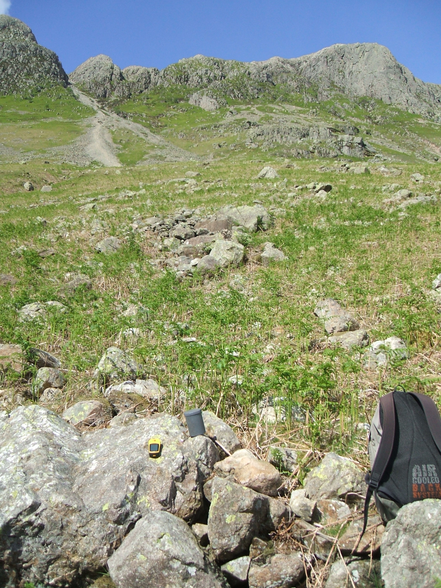
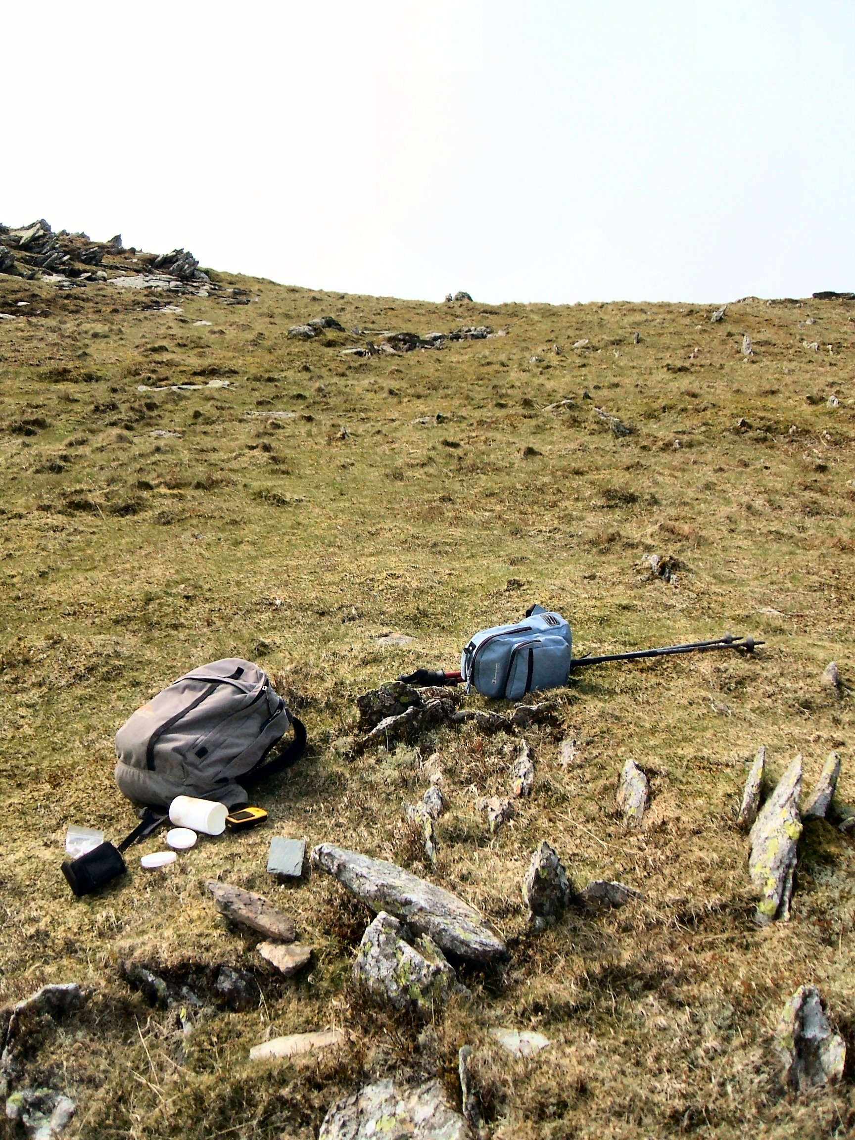
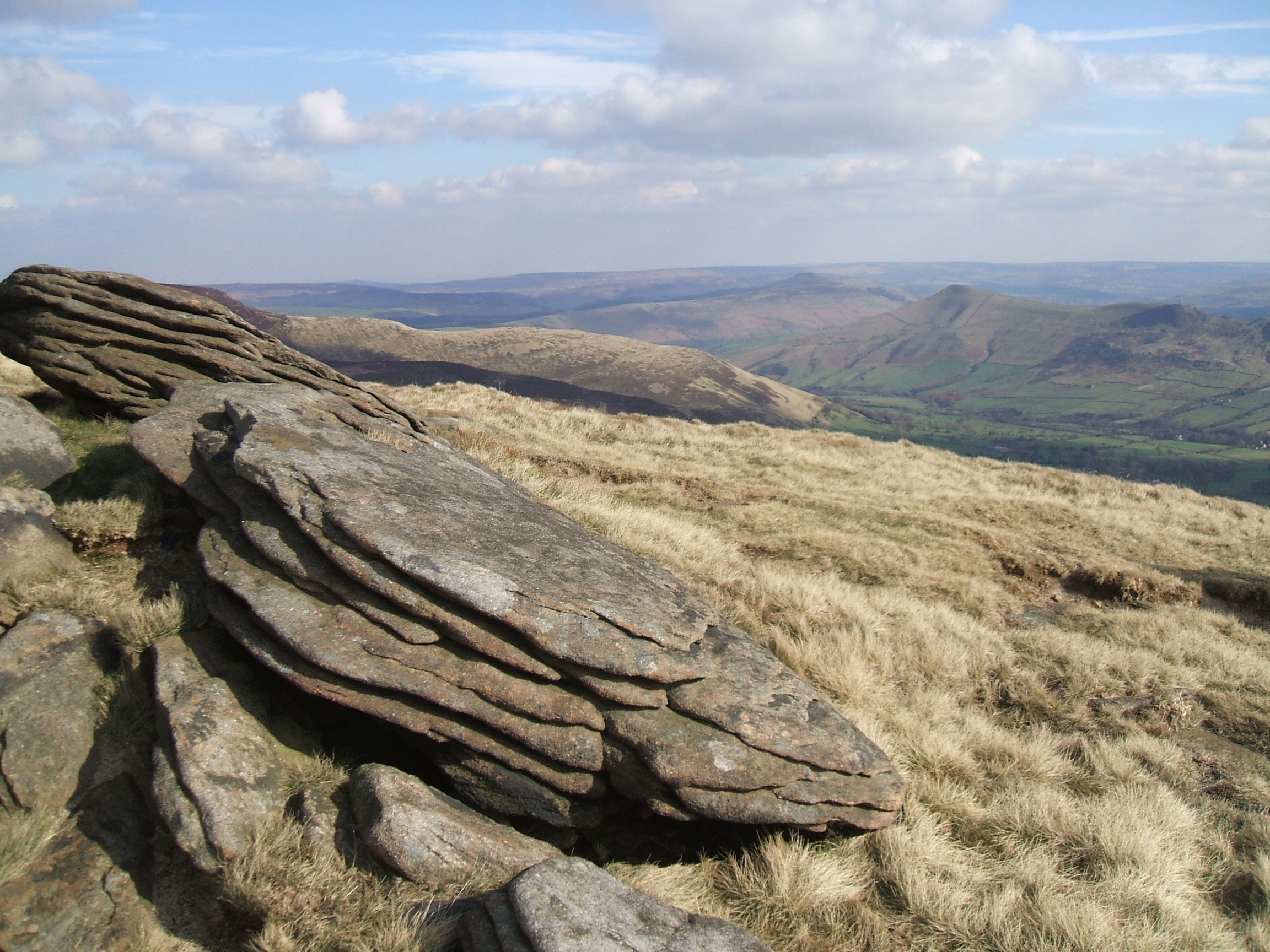
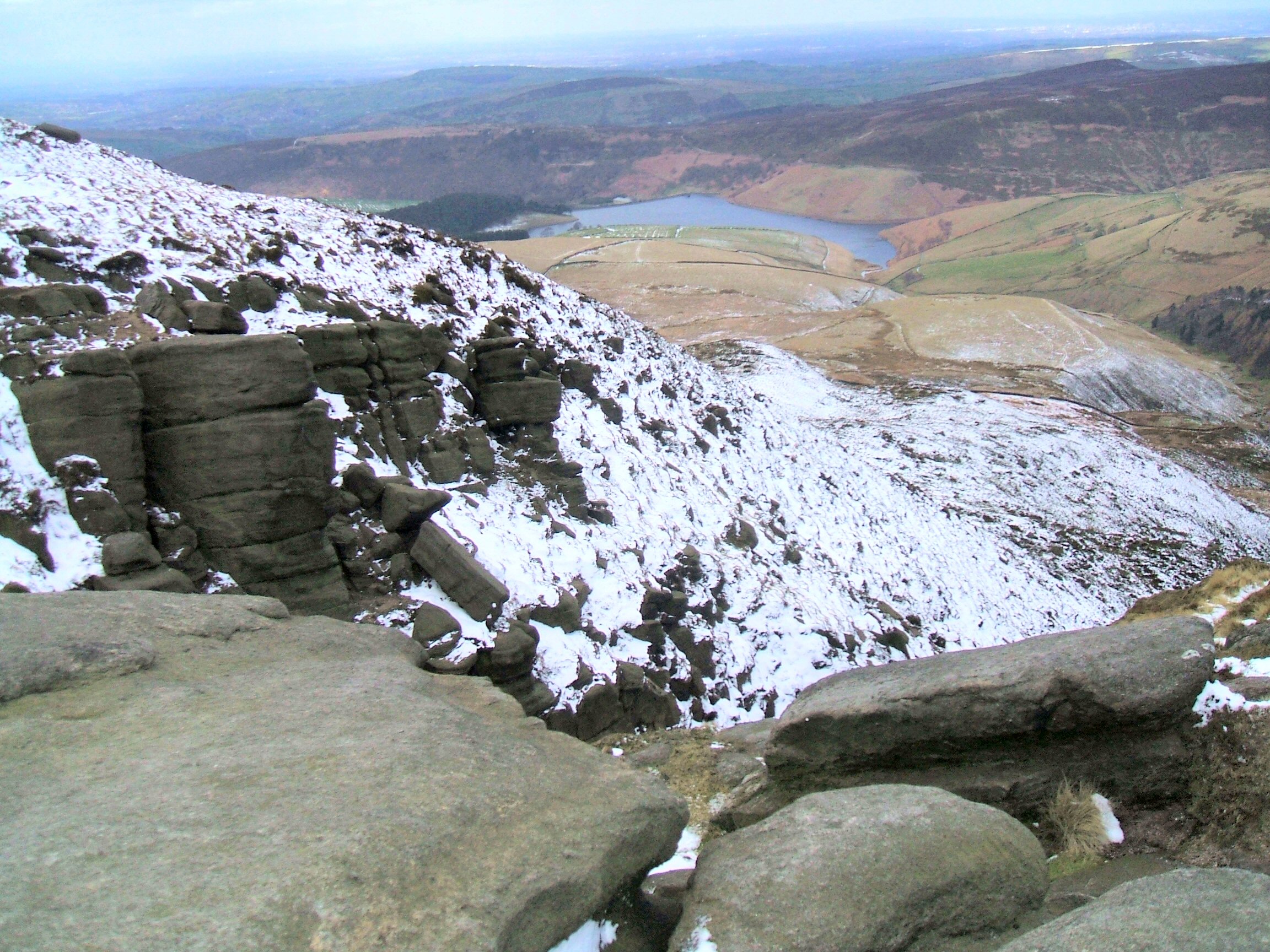
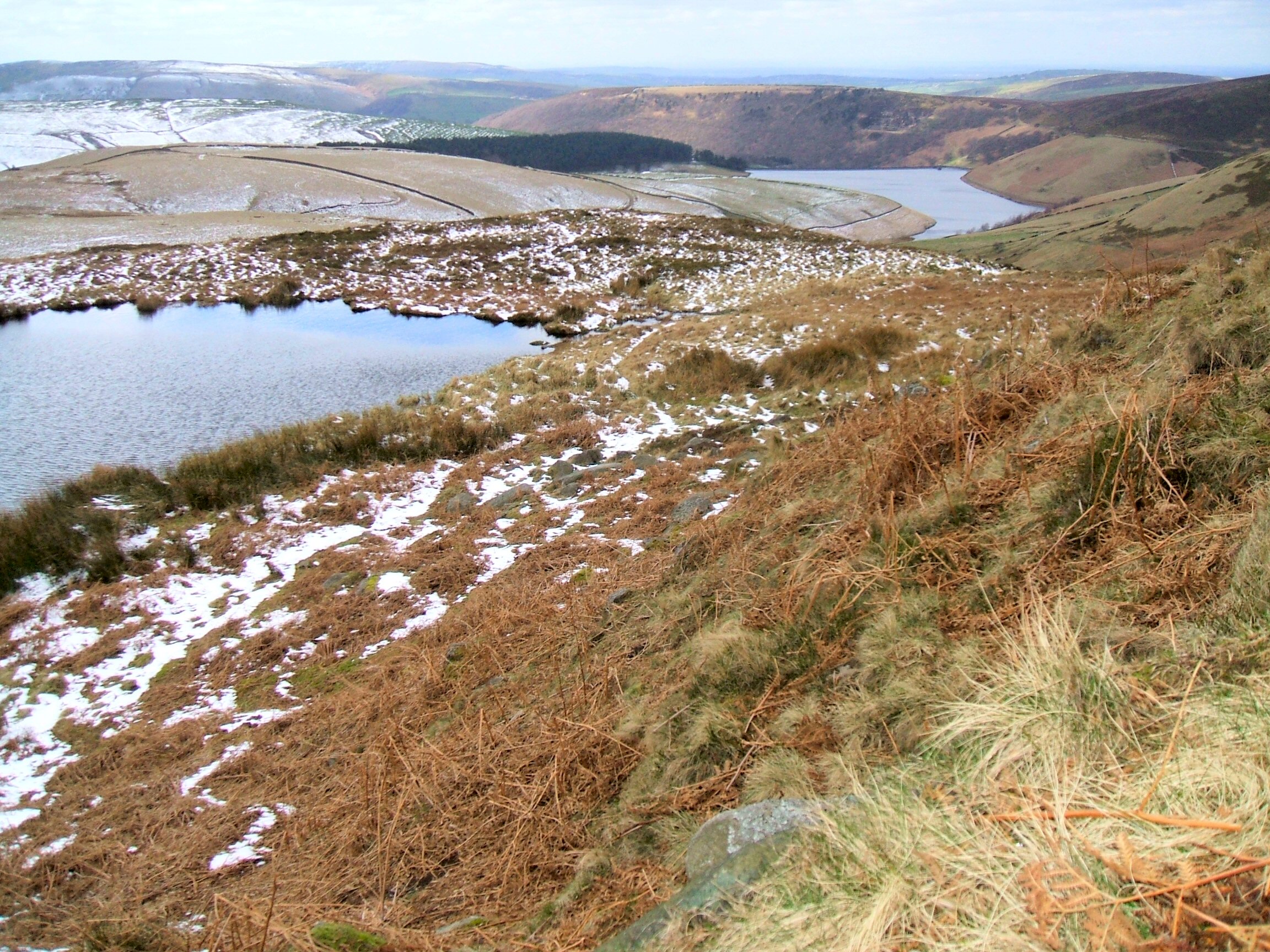
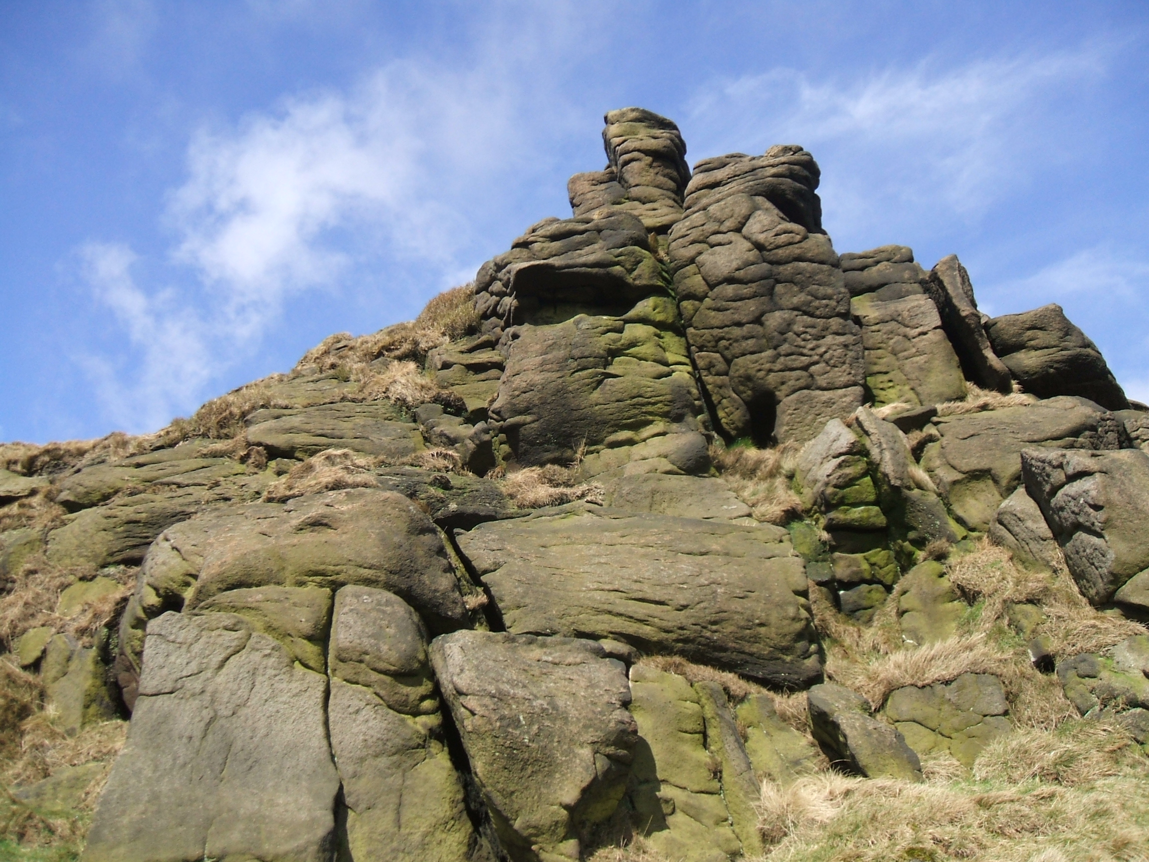
Axe Factory, Great Langdale - below Pike o'Stickle High Spy, Borrowdale
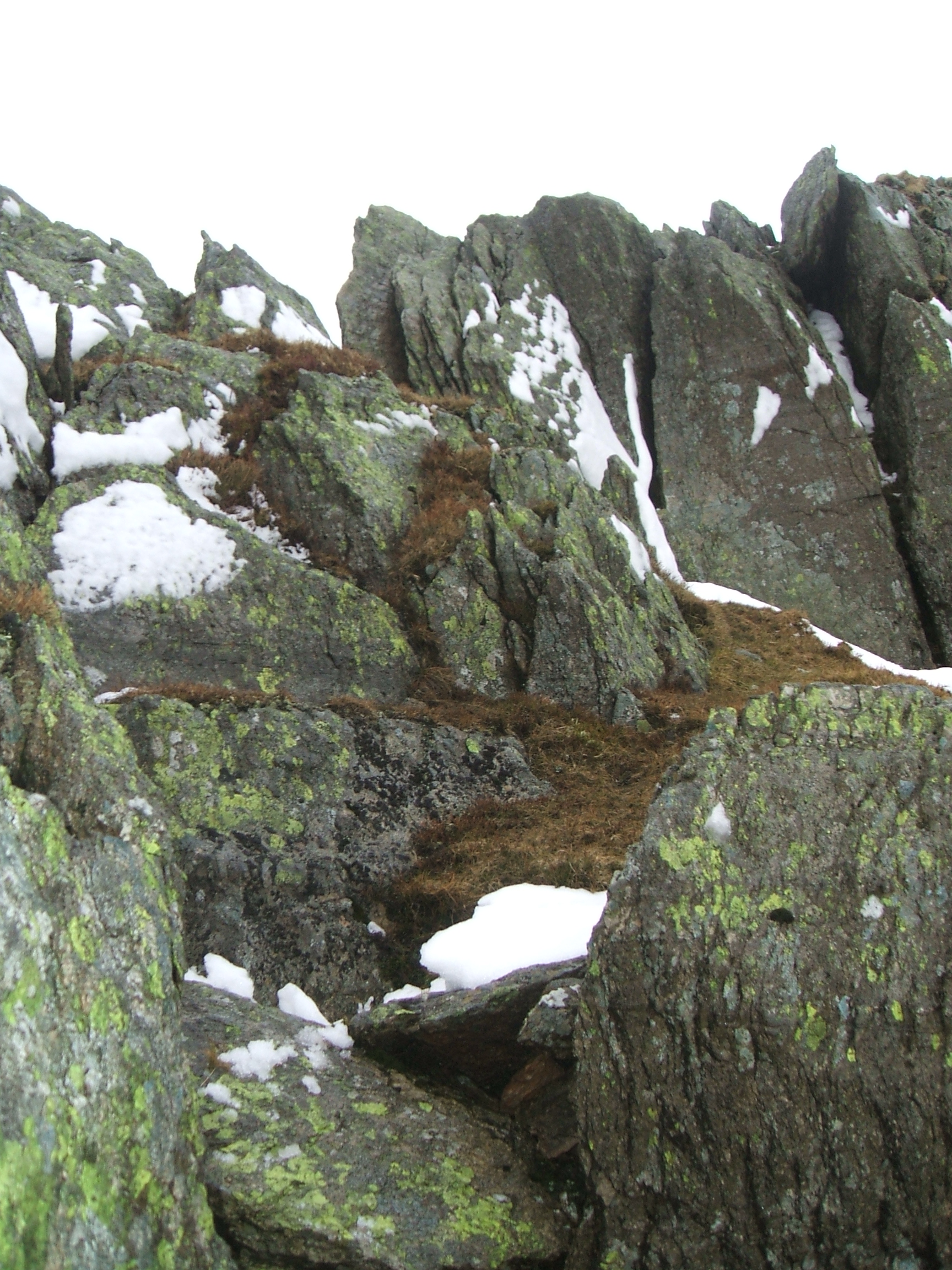
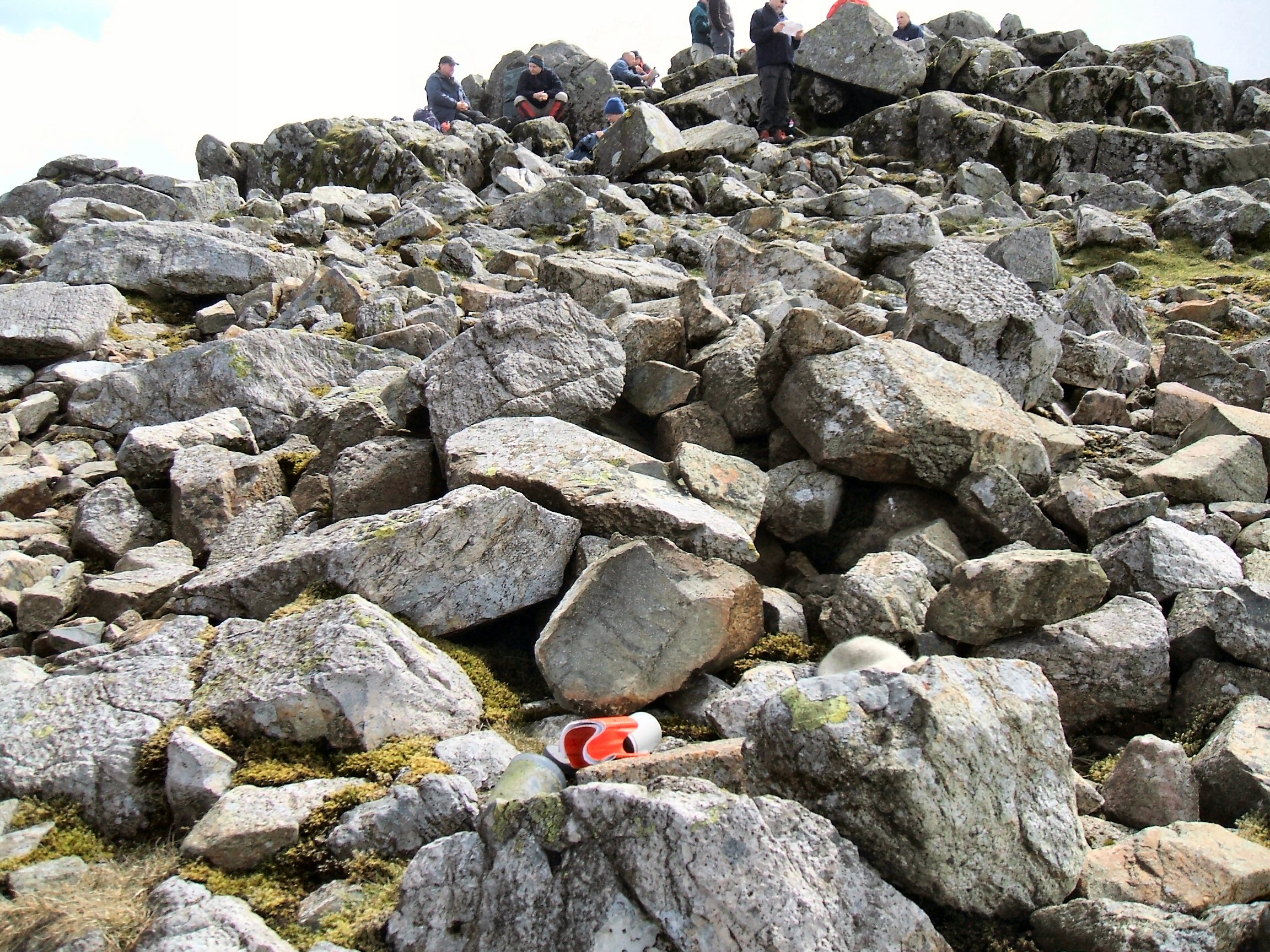
Striding Edge Great Gable
Dark Peak District
There are several letterboxes in the Dark Peak District. Here are the details of the ones I have found:
1 Letterbox Mermaids pool Map ref: SK 07462/88717
2 Letterbox Mermaids pool Map ref: SK 07493/88686
3 Cara's Box Crowden Tower Map ref: SK 09187/87321
4 Letterbox Grindslow Knoll Map ref: SK 10979/86795 (missing on last visit)
5 Letterbox Swines Back Map ref SK 07883/86283 (missing on last visit)
6 Letterbox River Kinder Map ref; SK 08682/87877
7 Letterbox Red Brook Map ref:: SK 08047/88013
8 Letterbox Grinah Stones Map ref: SK 13047/96192
9 Letterbox Mount Skip Map ref: SE 03746/00957 (this seems to be a geocache now)
Grindslow Knoll Red Brook
Mermaid's Pool (two letterboxes here) Swine's Back